www.willhiteweb.com - Hiking, Climbing and Travel
Choirboy
The Middle Fork Snoqualmie could really use some small, easy mountains. Choirboy fits the need, with only 900 feet of gain. Its elevation is only 2,140 feet but with dramatic cliffs at the summit, you do get some reward at the top. The unofficial name came about from the much larger Preacher Mountain, nearby. It has a sub peak dubbed "The Pulpit". Choirboy just fit the theme I guess.
Access:
Distance: 1 mile
Summit Elevation: 2,140 feet
Elevation Gain: 1,100 feet
Access Rating: Good Gravel
Take exit 34 off Interstate 90, pass the truck stops, then take a right onto the Middle Fork Road. Follow it about 12 miles up to the signed Middle Fork Trailhead. A Northwest Trail Pass required for parking at the Middle Fork Trailhead.
Route:
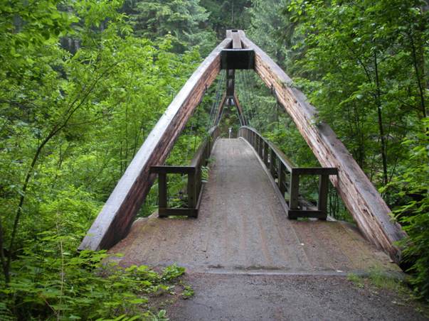
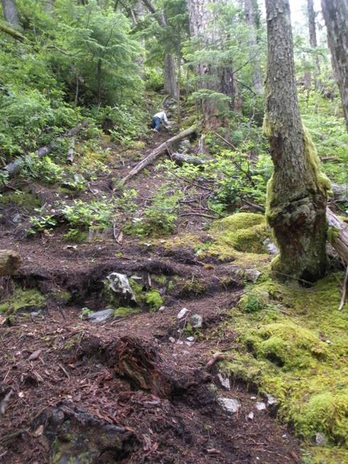
From the parking lot, take the trail a short distance to the Middle Fork bridge crossing. Once across, take the Pratt River trail to the right. Shortly after leaving the river on your right, start looking for a minor climbers trail on the left heading up the forest (just a few minutes walk from the bridge). Follow the climbers trail to the summit. About 400 vertical feet of climbing midway is quite steep. The trail somewhat disappears at a false summit. A minor and brushy section of trail must be followed to drop 30 feet and climb the final knob to the highest point. Views will be from cliffs on either side along the summit ridge.


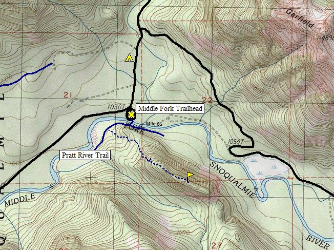
Black lines are roads
Blue dashed line is climbers trail
Solid blue line is the main trails in the area
On the summit ridge
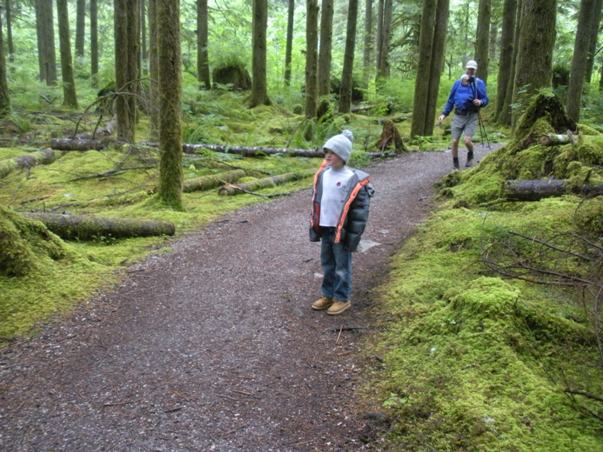
Going up the steep forest
Near the start
A steep section of trail (that's Maverick up there)
The Middle Fork Bridge
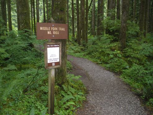
Trailhead sign
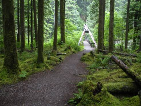
The bridge and trail


