

Grassy Top Mountain Lookout Sites
In 1915, this was a lookout camp.
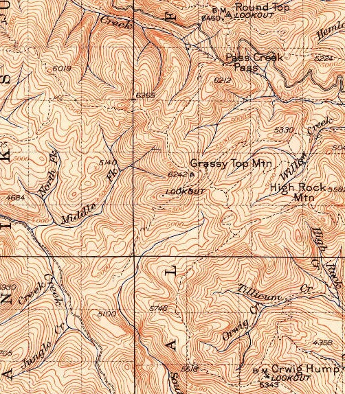
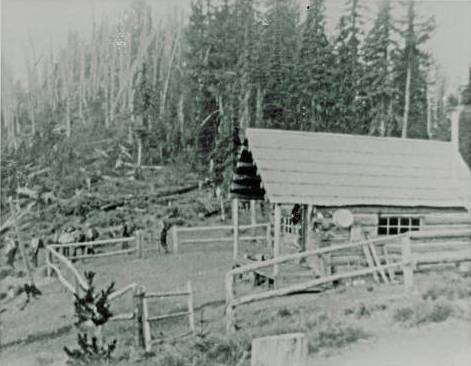
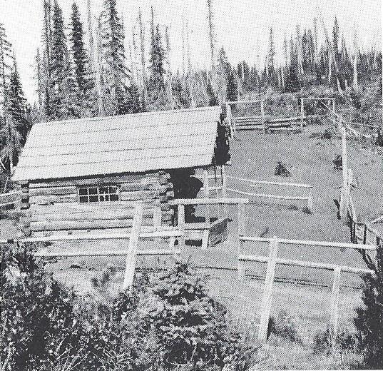
In 1926, a log cabin was built by mop-up crews during the final days of the huge 1926 burn which ravaged Pend Oreille County. I believe the cabin was situated in the saddle between points 6213 and the summit 6253 (but I must verify). From the cabin, there were two patrol points that each had platform towers. These patrol points need to be verified but one was to the north and the other to the south. The south was on the broad southwest highpoint marked on maps at 6213. Debris is visible on aerial photos.
In 1931, Roy Mackay was struck by lightning.
In 1932, September, Lawrence McKay finished the lookout station for the Forest Service on Grassy Top and starting work on another on Slumber Peak.
In 1938, a 20-foot wooden tower with L-4 cab was built at the patrol point on the SW peak 6,213.
By the 1950s only ruins remained.
WillhiteWeb.com
Lookout Elevation: 6,213 feet
Hiking Distance: Have not visited.
Elevation Gain: Have not visited.
County: Pend Oreille
Cabin on Grassy Top Mountain


Cabin on Grassy Top Mountain
1942 USGS (1958 update)


