Mount Loma Prieta
WillhiteWeb.com

Loma Prieta Access:
Hiking Distance: 2 miles
Summit Elevation: 3,786 feet
Elevation Gain: 700 feet
Access: Paved
Loma Prieta Road Route:
Loma Prieta is the highest peak in the Santa Cruz Mountains. Its only attraction is that it has 3,426 feet of prominence, a real catch for peakbaggers, #30 on the California Prominence List. The disadvantage is the access to its summit. You have several options, none of which are very exciting prospects. The area is full of private property and you must take some chances that you could get a comment or maybe just a bad look. If you climb the route as I describe below, you should not have problems, everyone was friendly to me. This is the road route hike, probably best using a mountain bike.
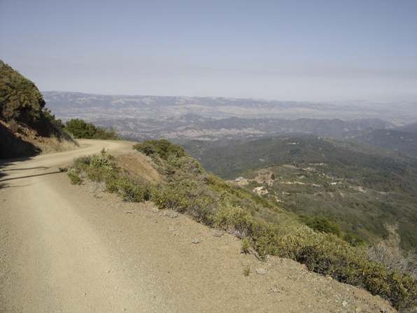
Getting close to the top
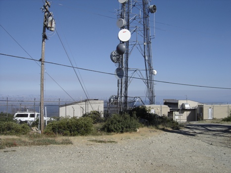
Communications on the summit
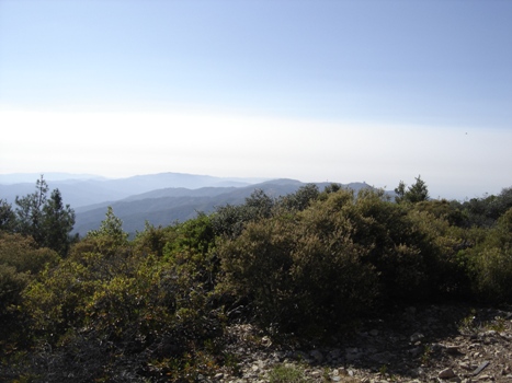
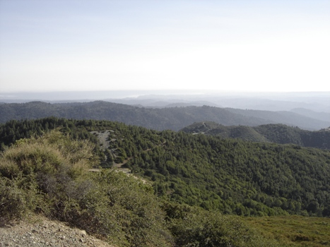
Looking west from Loma Prieta
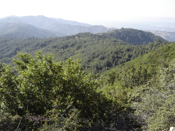
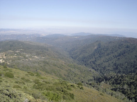
Looking east from Loma Prieta
Views from Loma Prieta
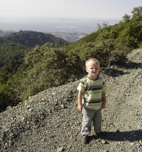
Walking up the road around 3,640 feet looking NE
Views from Loma Prieta
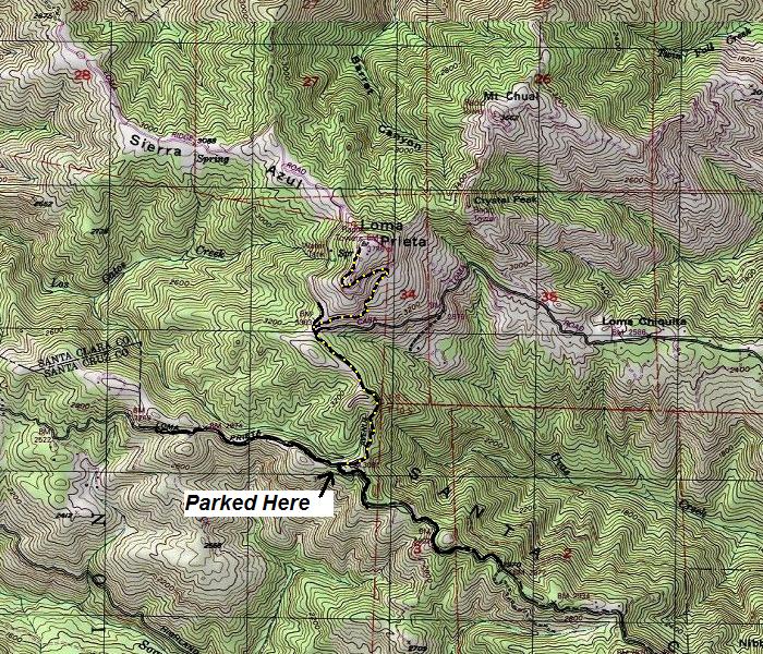
Hike up the road until it crests. It will only stay level a short distance than start dropping down the north side. As you drop, you will see the upcoming turn-off for the road that climbs up the side of Loma Prieta. Turn off the main road and follow this road up the hill. At this point, you are off the homeowner's access road and should not see anyone. There is a gate shortly after the turn-off. Climb steadily taking a left at a Y, coming shortly to another gate/fence (most likely open). Work up the road until you are on the summit. The top of Loma Prieta is full of communication equipment so you have to move around to get the different views.
Take Highway 17 towards Santa Cruz from San Jose. Near the crest of the Santa Cruz Mountains, turn onto Summit Road going southeast. Follow this road past the Summit Store until you reach a road on the left called Mount Bache Road. Take this road a short distance where you will intersect "Loma Prieta Avenue to the left and Loma Prieta Road to the right. Go right on Loma Prieta Road, following it until the pavement ends. Just beyond, the road splits. The left road (up hill) should have an open gate with signs saying "authorized and resident vehicles only". This is where I parked. Although I did drive up beyond the signs to take a look, I did not feel comfortable leaving my car incase someone wanted to teach me a lesson. There is plenty of parking at the road junction. There was quite a bit of traffic on the roadway as private homes are all around.
