Access:
Mount Diablo
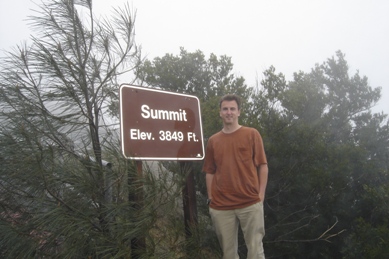
Summit Elevation: 3,849 feet
California Hiking & Climbing
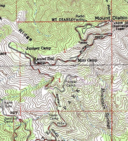
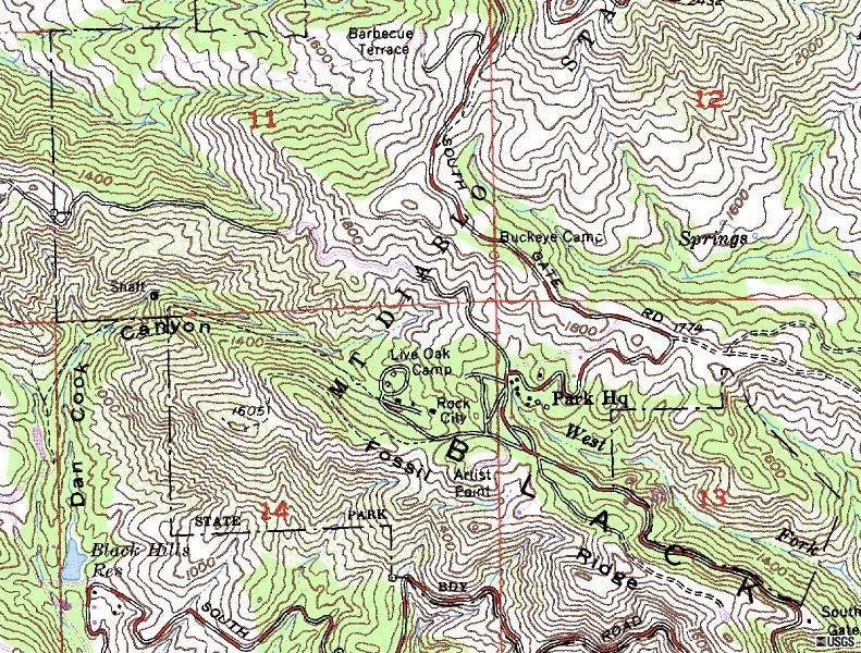
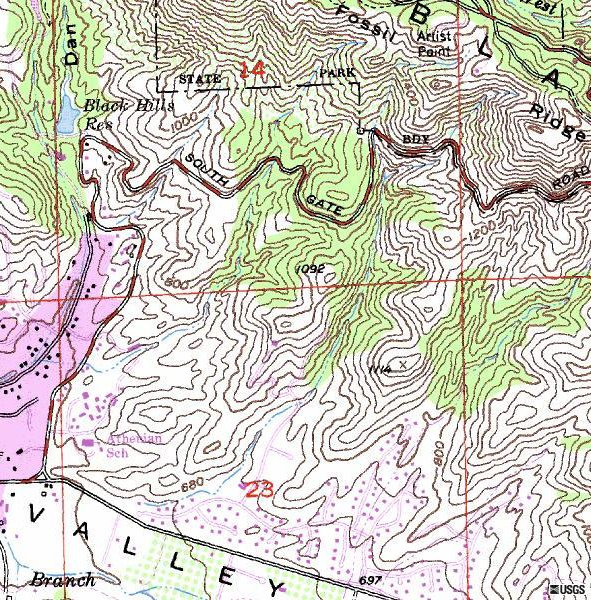
Said to be one of the greatest views, I saw nothing but clouds during my short time on Mount Diablo. Breaking my personal rule, I might come back someday and do it again.
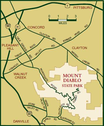
In Danville on Interstate 680, get off on Diablo Road following signs east to Mount Diablo State Park. You can drive all the way to the top.
Mount Diablo has many trails to the top but as always, I head straight for the summit if a road exists. If you get some views, it is possible to see west to the Farallon Islands, southeast to Mount Hamilton/Copernicus Peak, south to Mount Loma Prieta in the Santa Cruz Mountains and north to Mount Saint Helena in the Coast Range. You can also see farther north to Mount Lassen in the Cascades and east to the Sierra Nevada. Other than the view, I was attracted to Mount Diablo because it is a county highpoint and a 2,000+ prominence peak. On the summit is a historic stone building built in the 1930's. Inside is a visitor's center and on top of the building is an observation deck with telescopes. The first toll was charged in 1874 so expect to pay to get up. According to a sign at the summit, it is possible to view the second greatest surface area seen from any peak in the world, exceeded only by the 19,340 foot Mount Kilimanjaro in Africa. This claim is ridiculous and should be removed.
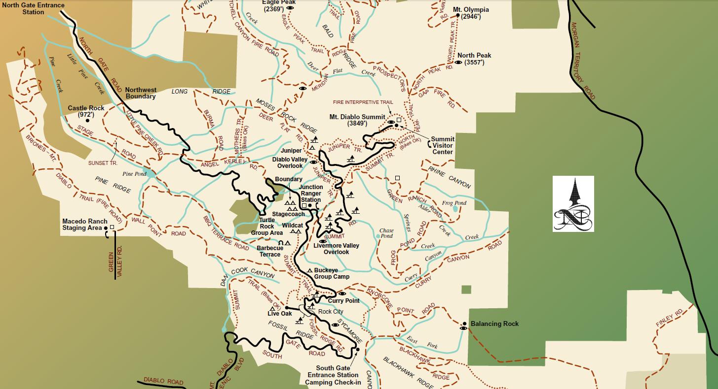
Mount Diablo is a sacred mountain to California Indian people. Just about every California Indian community who viewed Mount Diablo would, at one time or another, make a pilgrimage to the summit area for ceremonies. The reason Mount Diablo is so sacred to the California Indian people is that it was the creation point for the Miwok people or genesis for some California Indian people. In 1851, the mountaintop was selected as the
starting point for a survey of the public domain. Ignoring the excitement of the Gold Rush, Leander Ransom and his men erected a flagpole at the summit of Mount Diablo and began to extend the base and meridian lines that we use to this day in our official land surveys. As a matter of fact, Mount Diablo base and meridian lines are referred to in legal descriptions of real estate throughout two-thirds of California and parts of Nevada and Oregon. Toll roads up the mountain were opened in 1874, and for many years there were two stages every day connecting Walnut Creek and Danville with Mountain House, a 16-room hotel about three miles from the summit. The Stage Road, near Pine Canyon, was one of the original stagecoach line routes. The hotel offered all conveniences and was known for its excellent food. Wedding ceremonies were a frequent occurrence at the hotel, and celebrities from all over Europe and America were among the visitors. In those days, it was widely held that you had not seen the West if you had not watched a sunset, sunrise, or full moon from the upper slopes of the mountain. Business at the hotel declined after the summit observation platform burned in 1891, and shortly thereafter the hotel burned down as well. The toll roads were reopened in 1915, so that the view from the summit was once again available to all. In 1921, a parcel of land on the mountain was designated a state park, and much of the rest of the mountain was declared a game refuge. Standard Oil placed a ten-million-candlepower aerial navigation beacon on the summit in 1928. The beacon was so powerful that it could be seen by ships 100 miles at sea. Finally, in 1931, the state acquired more land for Mount Diablo State Park, and the park was formally dedicated and opened to the public.
Some History:


