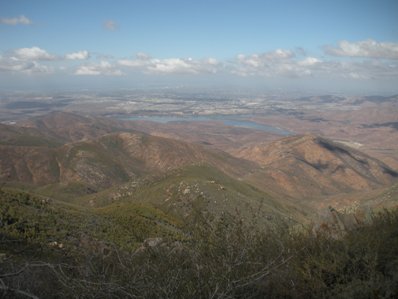
Otay Mountain
Distance: Drive-up
Summit Elevation: 3,566 feet
Access rating: Good Gravel Road
WillhiteWeb.com: California Hiking Trips

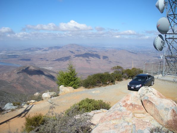
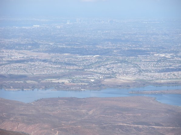
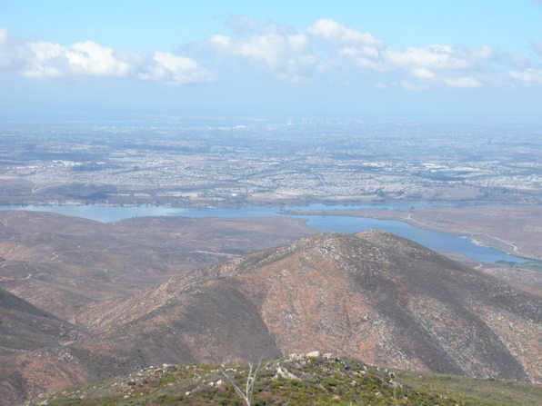
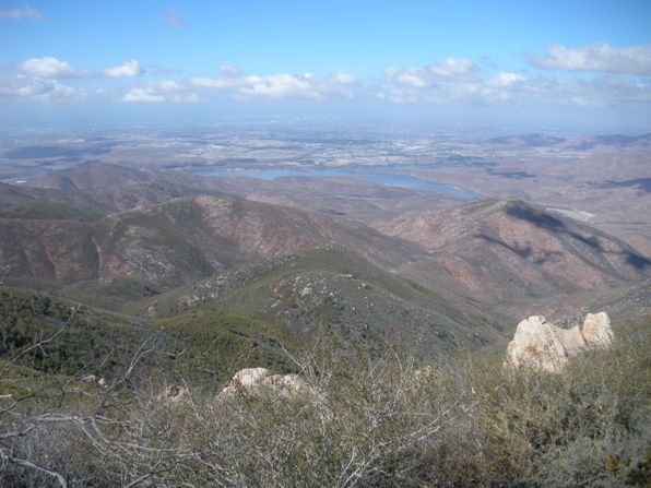
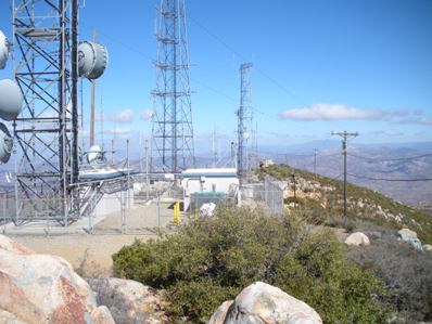
Otay Mountain is the most southern 2K prominence peak in California. The southern base of the mountain isn't even in the U.S. The mountain is frequently crossed by illegals from Mexico and the border patrol is always present there. I started this adventure with a few printed maps but wasn't sure which route I'd end up using to get this drive up summit. In Jamul, while getting gas, there were several border patrol cars gassing up next to me. I started asking questions about the Minnewawa Truck Road. His first response to my inquires were "you're not going up in that are you" as he pointed at my shiny Honda Accord. Yes...with my 2 small children inside as well, I responded. He then said to "keep my doors locked and don't stop for anyone". As we talked, he lightened up and all seemed good as he gave me details on the starting access point for the Minnewawa Truck Road. His main concern with the road is that it is only one lane and they are constantly driving up and down the road. Turns out the road is really nice, no problem in a 2WD vehicle. In fact, every corner going up has mirrors so you can see if someone is coming....or jumping in the bushes? Meeting another vehicle wouldn't be a big deal. A guard near the summit was watching me....probably made aware of my impending presence from the gas station guard. The very summit is a rock surrounded by used toilet paper. It appears the actual summit is the toilet for the communication facility workers on the summit station. Kept my kids in the car as I felt like I was being watched from the bushes....strange feeling. The views out to San Diego were amazing.
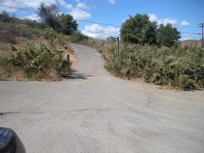
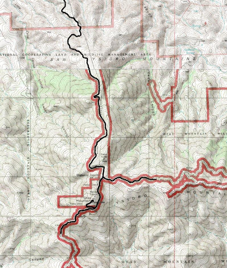
Take the CA-94 freeway east past Jamul. Turn right on Otay Lakes Road. Follow this road until you see the Thousand Trails Campground on the left. Also on the left will be the Pio Pico County Store. Just past the store are 2 roads with gates, take the steeper uphill one with a bigger (open) gate. This is the Minnewawa Truck Road. Follow this road avoiding any smaller spur roads. Near the summit is Doghouse Junction. From there a major road does go left but the summit is obvious to the right. In a short distance is the final 1/4 mile paved spur road up to the summit. The gate may or may not be locked on this portion.
Access:
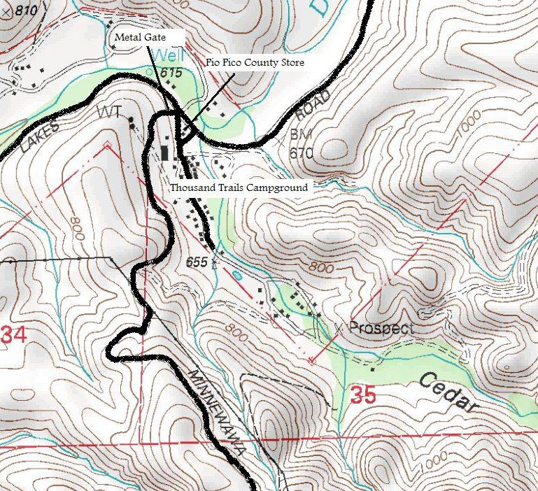
Minnewawa Truck Road Gate
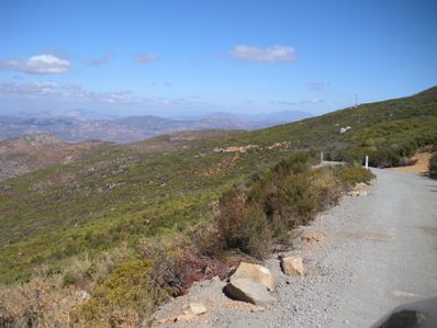
Minnewawa Truck Road
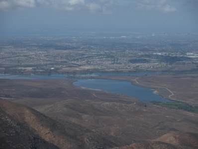
Otay Lakes and San Diego
Otay Lakes and San Diego
Otay Lakes
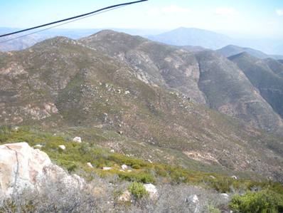
Views to the west
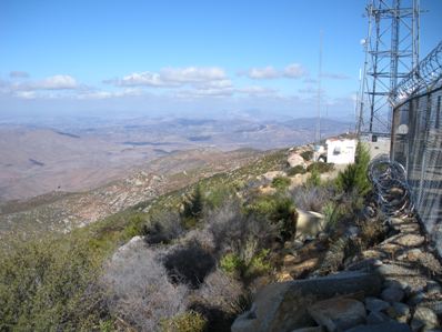
Many communication towers
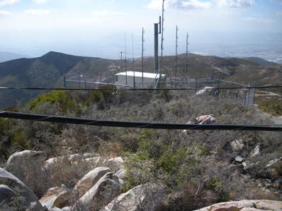
On the highest point
