
Cowles Mountain
Distance: 1.5 miles
Elevation Gain: 900 feet
Summit Elevation: 1,591 feet
Access: Paved
WillhiteWeb.com: California Hiking Trips

Access:
Route:
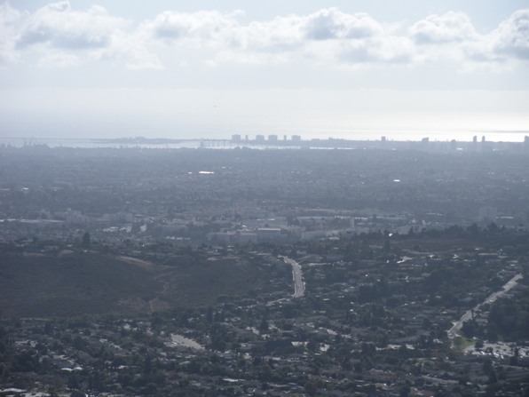
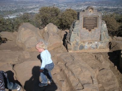
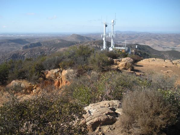
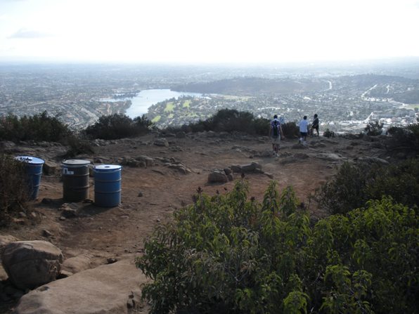
This is one popular trail to the highest point in San Diego. While resting at the summit sign while my kids played in the dirt for an hour, I must have saw 100 people arrive at the summit, 30 of whom had to touch the summit sign. Must be a local tradition or something? The view was pretty incredible for a city hike. All of San Diego is laid out around you with mountains to the east and the Pacific Ocean to the west. The diversity on the trail was really entertaining, big, small, fat, thin, running, huffing & puffing, some cheering others almost crying.....it's all here. I guess I was part of it carrying 2 kids at times getting all kinds of comments from passing hikers.
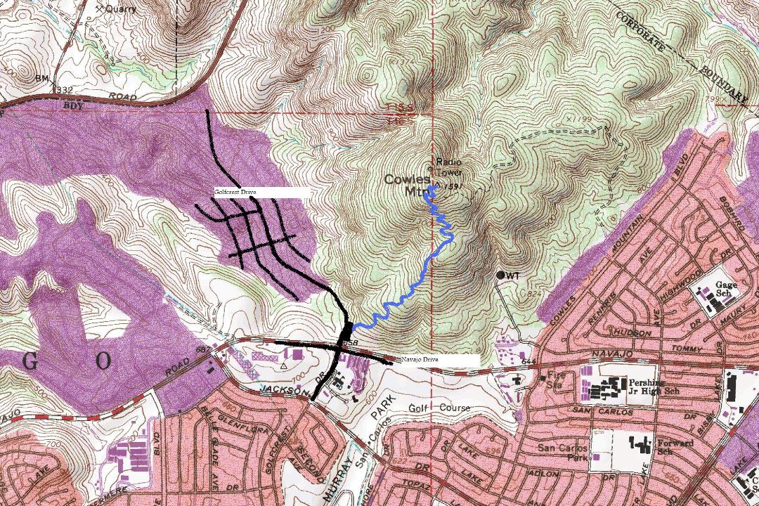
Find Navajo Road on a San Diego map. It runs east of I-15, north of I-8 and west of Interstate 125. Easy to find. The trailhead is at the corner with Navajo and Golfcrest Drive. Parking goes up Golfcrest Drive once the trailhead parking lot fills up.
Very straight forward on this trail, which is a hiker only trail. Follow the wide path and signs to the top. Expect little shade and lots of switchbacks.
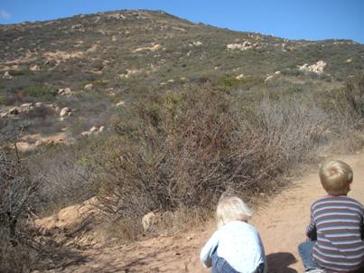
Cowles Mountain from trail
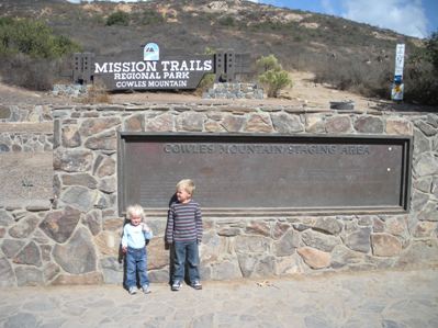
Cowles Mountain trailhead
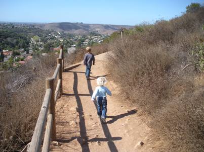
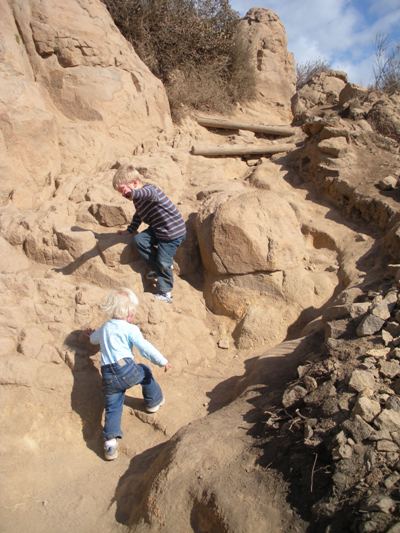
Cowles Mountain Trail
Cowles Mountain Trail
Cowles Mountain summit sign
San Diego from Cowles Mountain
Views from Cowles Mountain
Looking east from Cowles Mountain
City views from the summit

On the trail


