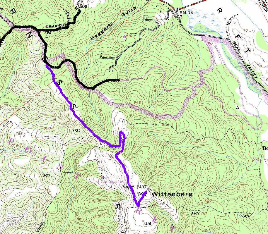
From the trailhead sign, walk up the gated fire road. This first part is shaded but not for long as the trail goes through a 1995 burn area. You might get a few glimpses of the ocean here. In less than a mile, you level off and meet the Fire Lake Trail. Go downhill to the left to another trail junction with Horse Trail. Go left on Horse Trail. Soon you hit some grasslands and yet another junction, this time with Z Ranch Trail. Turn right and follow for 0.8 miles to a final trail junction signed Mount Wittenberg Summit. Climb this final stretch through fast growing Douglas-firs to the flat summit. It might be possible to find some views to the south and east by walking down into the fir trees a bit looking for gaps.
Mount Wittenberg
WillhiteWeb - California Hiking

Access:
Hiking Distance: 2 miles
Summit Elevation: 1,407 feet
Elevation Gain: 750 feet
Access: Paved
Route:
A good hike to stretch the legs or avoid bad weather and snow in the higher elevations, Mount Wittenberg is the highest point in the Point Reyes National Seashore area. At one time there was a great view from the summit but now it is gone as Douglas-fir trees have grown up blocking the view. The Sky trailhead starts at 700 feet, higher than another popular route up from Bear Valley at only 100 feet.
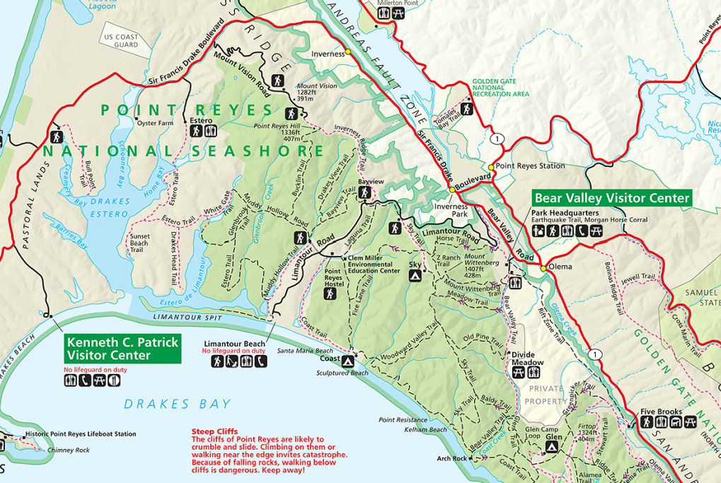
From US 101, exit San Anselmo/Sir Francis Drake. Drive west on Sir Francis Drake about 20 miles, to the junction with Highway 1. Turn right and drive about 0.1 mile, then turn left onto Bear Valley Road. Drive about 2 miles, then turn left onto Limantour Road. Drive about 3.3 miles to the signed trailhead on the left side of the road. No entrance or parking fees.
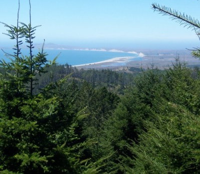
Limited views from summit area. I didn't take one picture for some reason...this is from summitpost.org
v


Yellow line ends at trailheads


