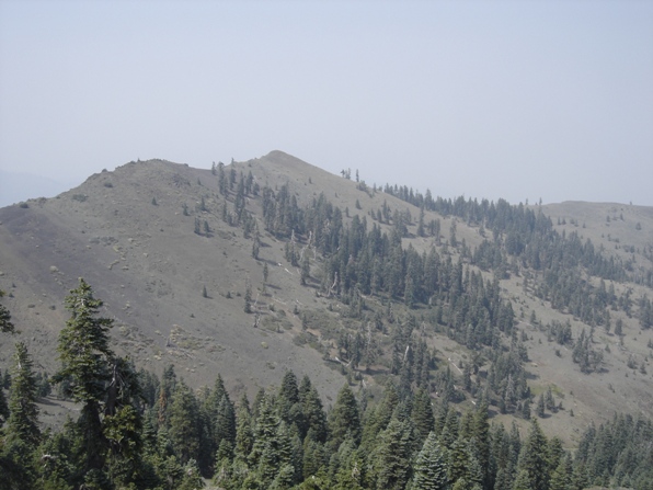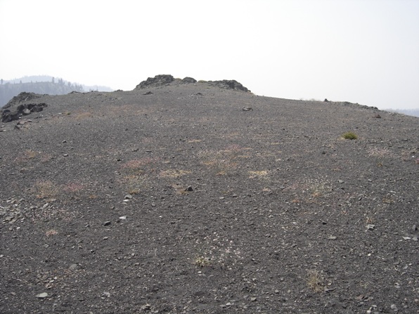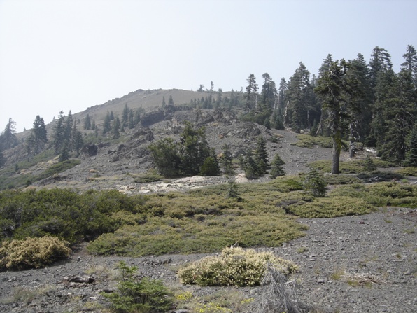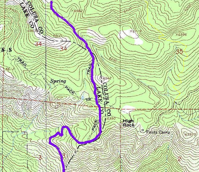
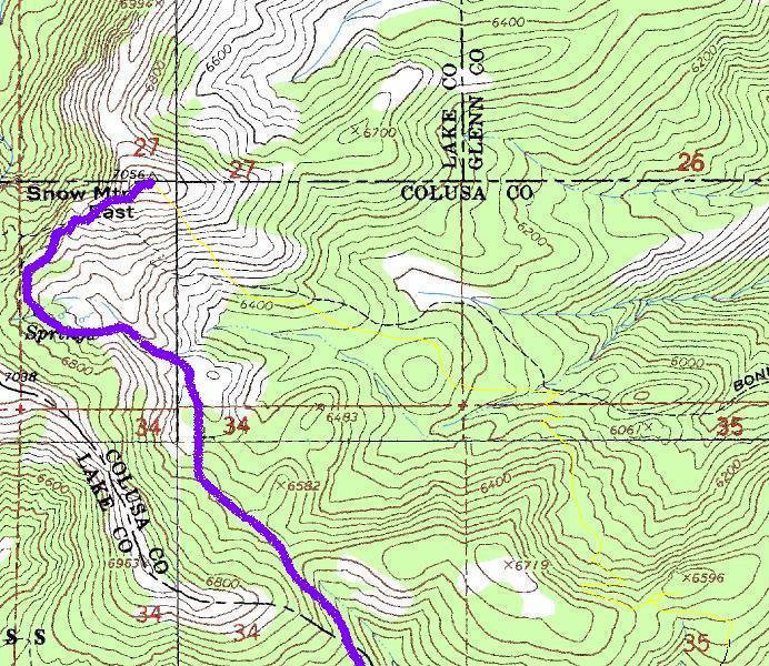
This is a fun hike in the Snow Mountain Wilderness to the highest summit in the region. In fact, it is the highest point in Lake and Colusa counties. The peak also has about 2,500 feet of prominence which was the reason I picked it for a hike. Unfortunately, a nearby forest fire created an awful experience for my family and me, as we could only see about a mile and we felt like we smoked a pack of cigarettes all day. Add to that a colossal error on my part causing extra mileage and elevation gain, as well as having to leaving my family for over an hour to reach the summit alone. Look for the small yellow line on the map below to see the wrong route we took. A trail did exist most of the wrong way we took although it is not shown on maps. On a clear day, one can see south to Mt. Diablo, east to the Sierra Nevada and north to Mt. Shasta 140 miles away.
Snow Mountain East
WillhiteWeb.com
Distance: 4 miles one-way (Summit springs route)
Elevation Gain: 2,000 feet
Summit Elevation: 7,056 feet
Access: Good gravel roads
Route:
Access:
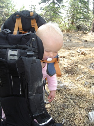
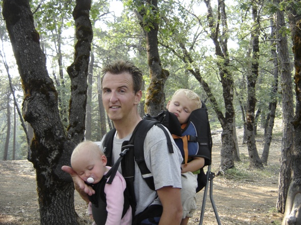
Crashed out in the pack
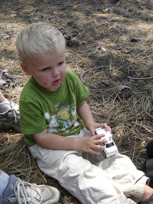
Playing with car getting dirty
At the trailhead after long hike out
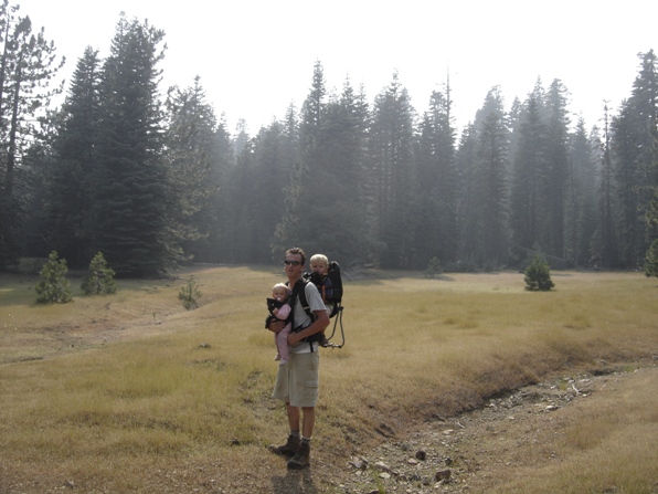
In the wrong meadow just north of High Rock
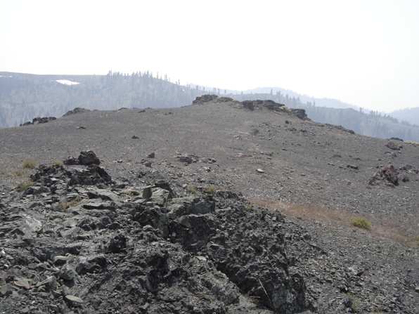
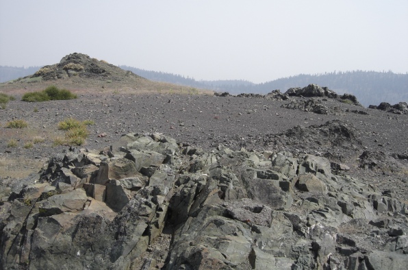
Southeast ridgeline of Snow Mountain East
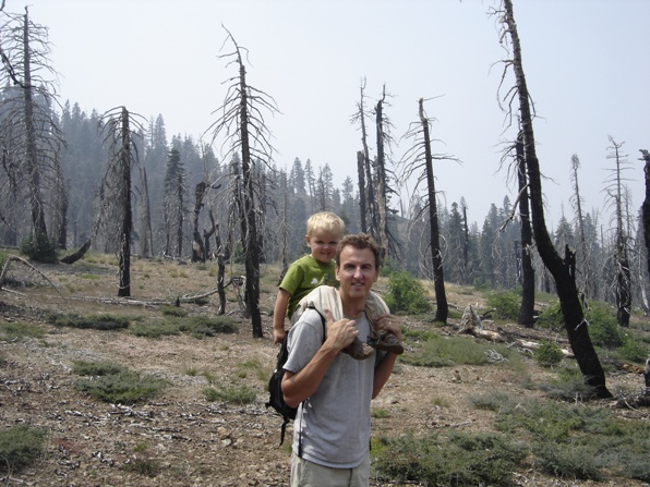
Forest burn areas
Views from the summit
Views from the summit
Views from the summit
Views from the summit
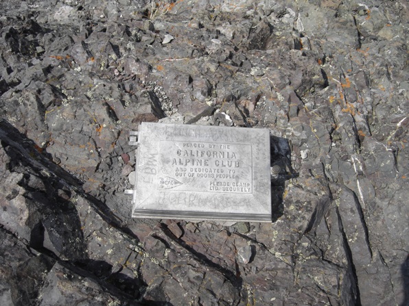
California Alpine Club register box on the summit
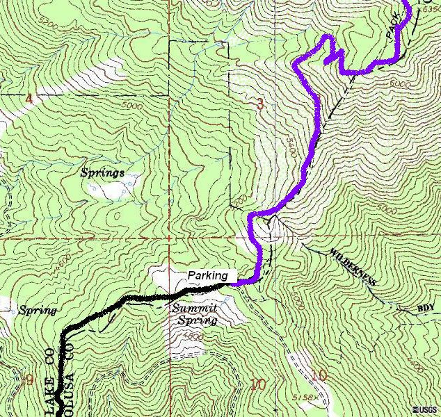
Start at the end of the road at the restrooms or get 1 minute higher to a small campground loop and information board. Follow the trail up and around a small knoll. Quickly you break out of the trees and into the open for a long stretch along a ridgeline. At 5,800 feet you will curve around the north side of the ridgeline giving you some shade again. The trail switchbacks up here then reaches the ridge again, climbing to a flat area to a major trail intersection called Fouts Camp Junction (6,300ish). The map shows a 4 way but I only saw 2 additional ways to go. Go straight (not right) down about 0.1 mile to a sign saying summit. This will take you quickly up toward the saddle between West Snow Peak and East Snow Peak. Once in the saddle, climb up (right) to the east peak to reach the highest point. A register exists on one of the summit knolls.
Take I-5 north of Sacramento to the Maxwell exit. Go west on Maxwell Road for 10 miles. At dead end turn right (north) on to Sites-Lodoga Road. Follow for14 miles turning right (north) onto Lodoga-Stonyford Road. In 7 miles reach Stonyford and turn left at the stop sign on Market/Fouts Springs Road. Shortly after, turn left onto Fouts Springs Road (FR-M10). Stay on this road (M-10) for 23.5 miles, keeping on the main road past several junctions. At a four-way intersection, go straight where a sign indicates Snow Mountain. The trailhead and restroom are under 2 miles ahead. The M-10 road is paved and then easy gravel, ok for most cars including my basic rental. This access probably takes a couple hours from I-5.
