www.WillhiteWeb.com: Your online resource for hiking, climbing and travel
Get out the canoe, you'll need to paddle a few days just to get to the base of Mount Faulkner. The Bowron Lakes is a 72 mile canoe circuit in British Columbia, Canada. The chain of lakes is located in the Cariboo Mountain Range, a spectacular area of mountain peaks, lush fir forests and abundant wildlife. Each lake is connected to the other by rivers, creeks or a trail requiring a portage. People come from around the world, especially Europe to paddle the circuit. It usually takes 6-10 days depending on your skill and how much you want to enjoy the area. Since you are in British Columbia, the weather could make the trip beautifully blue water paddling or a raining, rough water nightmare. The largest lake in the circuit is Isaac Lake, 22 miles of amazing scenery. Midway down the lake, towering above is Mt. Faulkner. There are few trails in Bowron Lakes Provincial Park...certainly none up mountains. You'll be bushwhacking for this one, up thousands of feet, but the reward is a vista like no other. Isaac Lake, set majestically in the deep valley. If you want to get out of that canoe and stretch those legs, give Faulkner a try.
It's a long day, a good 550 mile drive north of Seattle Washington. The Bowron Circuit is just south of Prince George, which is about the halfway point to the Yukon. If your serious about canoeing the Bowron, you already know how to get there. This information is for those planning a trip and want to add a little more adventure, as if the trip wasn't already enough!
Mount Faulkner
Distance: 1.5 miles
Elevation Gain: 3,800 feet
Summit Elevation: 6,890 feet

Access:
Route:
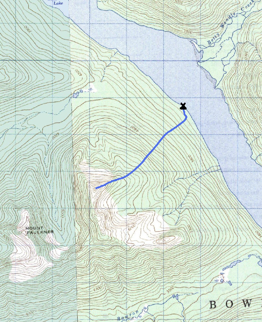
From the group camp on the west side of Isaac Lake (across from Betty Wendle Creek), climb up the forested slopes SW until the ridge, then follow to highest point. The brush isn't too bad, a few pockets here and there. Use a compass or GPS so you return close to the camp on your decent. Beware of bears, theirs been some gruesome bear attacks in the area. The named summit has the same contour so it could be higher, I do not have detailed maps of the region. This more northern summit certainly has a better view of the lakes.
More Info:
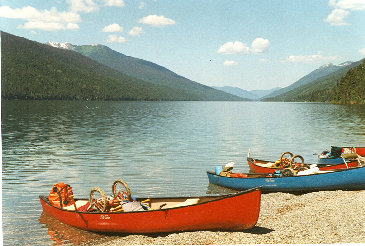
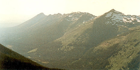
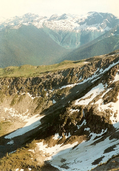
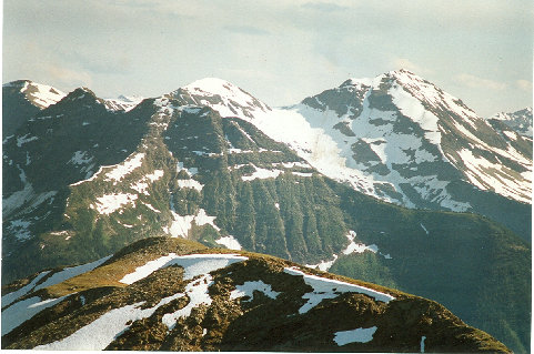
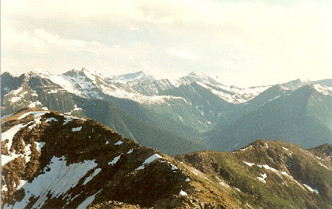
Mt. Faulkner is on the left, viewed from the south end of Isaac Lake
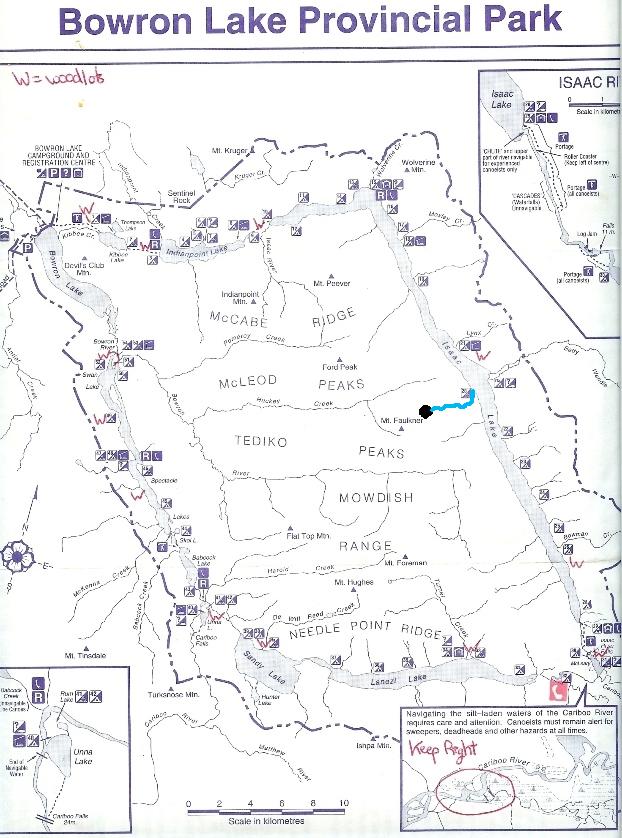
Below: Bowron Lake chain with location of Mt. Faulkner shown
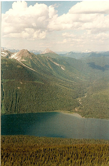
North end of Isaac Lake
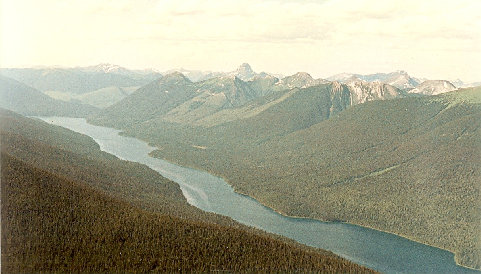
South end of Isaac Lake
Flat Top & Mt. Foreman
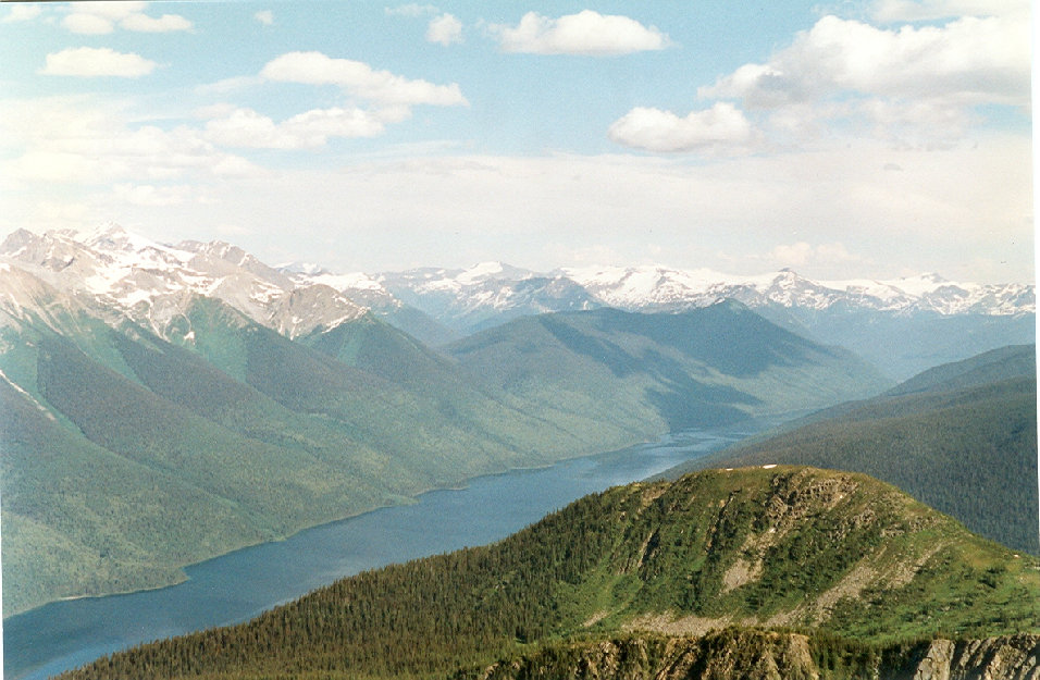
South from Mt. Faulkner
Huckey Creek Valley & Ford Peak
Views from Faulkner
Betty Wendle Creek Valley


