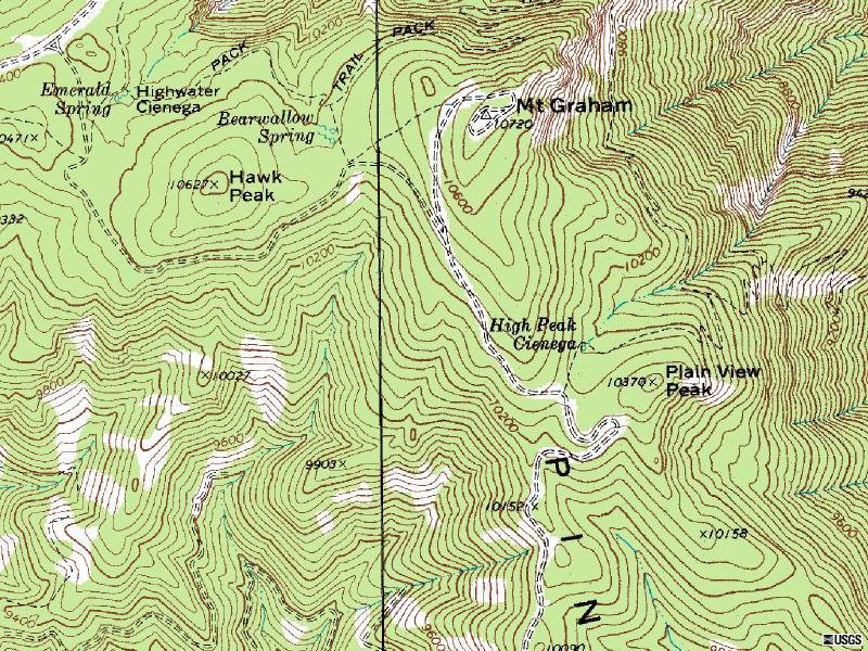
Mt. Graham is southern Arizonas highest mountain, and a county highpoint. The peak rises over 7,800 feet above the town of Safford, and is the most prominent mountain in Arizona. All that said, the hike is boring with no views on the summit. But, it is a desired climb due to its prominence and status as a county highpoint. For views, a much better and easier hike is Heliograph Peak, a short distance away. To make the hike interesting, the upper elevations of the mountain are located within the Red Squirrel Refuge. The summit of Mount Graham is officially closed to hikers and signs apparently exist saying this. There is one route up that avoids all signs so you can plead ignorance. Your car is inside the campground as well so few forest service rangers will think anyone is up there.
Mount Graham
Arizona Hiking
Access:
Distance: 3 to 4 miles
Elevation Gain: 1,620 feet
Summit Elevation: 10,720 feet
Access: Paved
The Route:
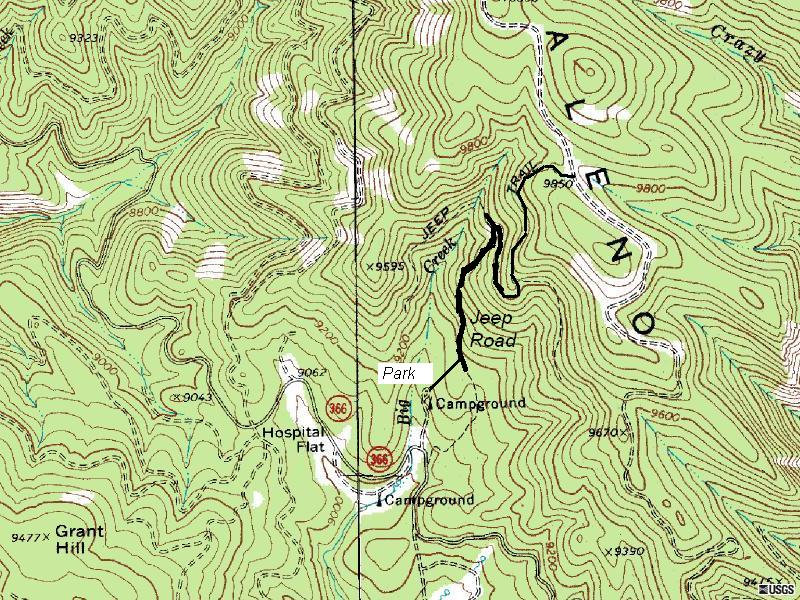
From Safford, drive eight miles south on US 191. Turn right onto the paved AZ 366, known as the Swift Trail Parkway. After 11.5 miles, you will reach the Arcadia Campground. Continue driving up, past Shannon Campground on the right, and then the closed Forest Road 507 on your right. Not much further down the road is another campground on the right side. Drive up into this campground and park in the last campsite.
From your car, you will see a hill above you. Climb this hill working left a bit. In a short distance when the hill levels out, you will come across an old road, now more of a trail. Go left and hike this old jeep road until you hit the closed Forest Road 507. This trail has had some maintenance in recent years and has at least 2 switchbacks about mid-way up. When you reach Forest Road 507 at a saddle and meadow, turn left following this road. Just below Mount Graham, the road splits. The main road goes left, and a rough primitive road forks right and heads for the summit. This right fork is a rough road looping all the way around to the top. It is easier to just leave the road at this point and go straight up to the top. The summit is forested with no views.
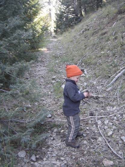
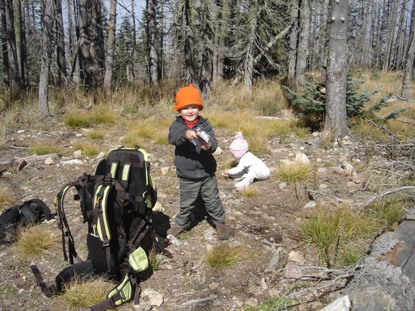
On the old jeep road/trail
The summit looks like this....ugly.
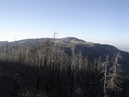
Mt. Graham from Heliograph Peak
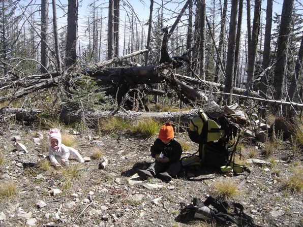
Taking a break at the saddle
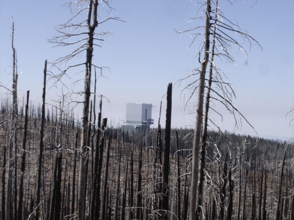
Mount Graham International Observatory
