Heliograph Peak
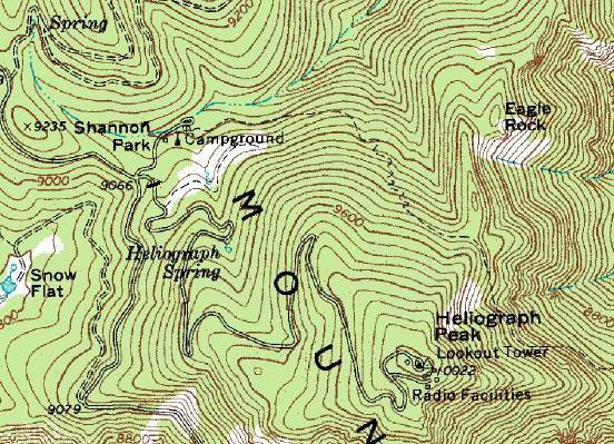
Located near Mt. Graham, southern Arizonas highest mountain is Heliograph Peak. With an active fire lookout, a historic cabin and sweeping views, this is an enjoyable family hike. The entire route is on a road, one could even push a baby jogger up the road. The downside is all the communication equipment on top. Camping in Shannon Campground is an optional bonus for an early or late evening climb in summer. There may also be a trail from the campground to the summit. I camped in the area in late October with my kids and it was well below freezing at night at such a high elevation.
Arizona Hiking
Access:
Distance: 2 miles
Elevation Gain: 2,200 feet
Summit Elevation: 8,417 feet
Access: Paved
The Route:

Going up is very simple, follow the dirt road behind the gate up 2 miles until you are at the top. Most of the route is shaded by fir trees. The other option is the Arcadia trail from the campground. Follow for about 1 mile, and then take the Heliograph trail another mile to the summit.
From Safford, drive eight miles south on US 191. Turn right onto the paved AZ 366, known as the Swift Trail Parkway. After 22 miles, you should reach the Shannon Campground sign on the right. Here, you will also see a gated road and small parking area. This is the beginning of the hike.
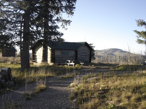
Historic Cabin on the summit with Mt. Graham in the distance
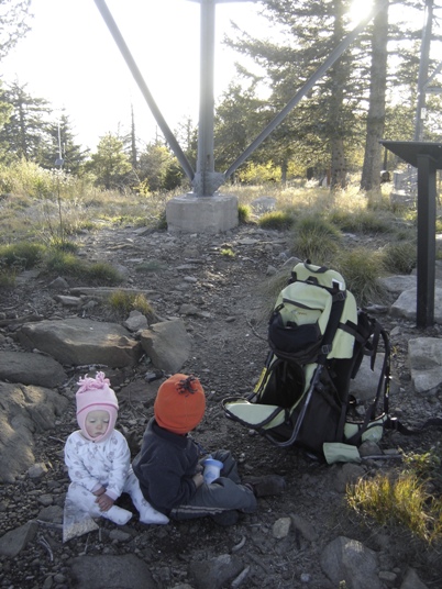
The kids very cold below the lookout tower


